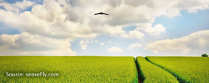
At Custom Agricultural Intelligence Inc., we believe that the right technologies can play an important role in the success of crop growing operations across the globe. For this reason, we have invested in Unmanned Aerial Vehicles (UAVs) commonly referred to as ‘drones,’ to optimize crop scouting operations. There is more to crops’ health than what we see 20-30 yards into a field or looking down from a truck to scout a field.
One thing unfamiliar to most farmers is that crops die from the root upwards. That a crop looks good doesn’t mean it is healthy. Therefore, technologies associated with UAVs can give crop growers ample information on health status of their crops1,2.
Drone technology has been commercially available since the 1980s and has come a long way since inception3. It has been applied in numerous industries to provide very low risk, cost effective, highly efficient and powerful solutions compared to using manned aircraft or satellite imagery (which had to be ordered in advance, are quite expensive and of poor quality on cloudy days)4. This is where drone scouting of farm fields can be more reliable as it provides precise and actionable information to farmers.
More so, the inefficiency in monitoring vast acres of crops in our short cropping season contributes significantly to the difficulty experienced by farmers to monitor crops health, leading to loss of crops and yield. Drone scouting makes some meaningful difference as large acres of land can be scouted effectively to aid decision making regarding crops health, especially with pesticide and fungicide application or damage due to environmental conditions.
Custom Agricultural Intelligence Inc., a leader in customized crop health therapy formulations, is working to develop and provide customized drone services which will give crop growers an insight on the health status of their crops. This is yet another way we are adding value in to build bushels for farmers.
Our drones have five cameras on them which give us detailed information on crops health from water use efficiency to crop stress and a host of other information in a single flight. Our mission with the drones is not just to create data but translating the data into meaningful information. We aim to create actionable intelligence by using information systems currently available with our proprietary algorithms. Thus, the data generated can be used to create a variable rate application map compatible with any spraying equipment.
We are also working on algorithms to perfect customized macro/micro deficiencies.
References:
- Candiago S, Remondino F, De Giglio M, Dubbini M, Gattelli M. Evaluating multispectral images and vegetation indices for precision farming applications from UAV images. Remote Sensing. 2015;7(4):4026-47.
- Yue J, Lei T, Li C, Zhu J. The application of unmanned aerial vehicle remote sensing in quickly monitoring crop pests. Intelligent Automation & Soft Computing. 2012;18(8):1043-52.
- Remondino F, Barazzetti L, Nex F, Scaioni M, Sarazzi D. UAV photogrammetry for mapping and 3d modeling–current status and future perspectives. International Archives of the Photogrammetry, Remote Sensing and Spatial Information Sciences. 2011;38(1):C22.
- Watts AC, Ambrosia VG, Hinkley EA. Unmanned aircraft systems in remote sensing and scientific research: Classification and considerations of use. Remote Sensing. 2012;4(6):1671-92.